Thursday, October 4, 2012

What I did last summer ....


I know it has been a long time since I have posted anything to this blog.  After my sojourn in Bettles in December, Fairbanks had an extremely cold winter.  In January we had 19 days of temperatures 40 below (F) or colder.  I sent some of you a photo of the thermometer on my porch bottomed out at minus 60.  It was too cold to cross-country ski, too cold to go on long walks in the woods, it was often too cold to drive the car as the power steering doesn't function at 100% at those temperatures.  It was even too cold for the dog to be out long -- she prefers temperatures around minus 20.

So ... basically I drank wine, ate pasta, and watched DVDs.  Not much to blog about there...  But in June everything changed.

In the summer of 2010 I trained to be a Marine Mammal Observer (MMO).  Due to the disastrous oil spill in the Gulf, oil exploration in the Arctic was put on hold.  Now, in 2012, it was going to happen -- like it or not.  I can recommend an excellent book for any of you interested in the history of oil exploration and development offshore in Alaska:  The Eskimo and the Oilman: The Battle at the Top of the World for America's Future, by Bob Reiss.  It presents the point of view of native residents of the North Slope, of Royal Dutch Shell, and highlights the incredible inefficiency of the bureaucracies responsible for issuing permits.  The author is a journalist and the arguments are presented, for the most part, without bias.  It is easy reading.

It started for me in late May with Helicopter Underwater Egress Training (HUET) in Kenai, AK.


Helicopter simulator
Underwater upside down

This exercise was daunting, even given scuba diving experience and having been a synchronized swimmer in high school.  Being strapped into this contraption in a buoyant flight suit -- and having to knock out a door or window and release the seat and shoulder harness underwater was challenging.  I had to repeat several of the "dunks" before I was able to pass.  There are several u-tube videos of this training if you want to scare yourselves.


I flew out to Dutch Harbor in late July after a number of delays mainly resulting from the late disappearance of ice in the Arctic this summer.  We were further delayed once we were on the ships.  I was briefly on the Harvey Spirit waiting for the Sisuaq, the ship on which I was assigned, to arrive from Bellingham, WA.


Dutch Harbor is a beautiful place to be stranded for a month.

Dutch Harbor is thought by many to be one of the most beautiful harbors in the world.  The weather changes every 5 minutes so everything looks different each time you look out.


The Sisuaq arriving.


The Sisuaq, a Harvey Gulf International supply vessel was great -- the ship, the crew, the experience.  We made lots of trips from Captain's Bay to Broad Bay for crew changes and grocery deliveries to other vessels also waiting to get out of Dutch.


Makushin Volcano seen from Broad Bay

The gray clouds you see above the volcano are active "puffs" of smoke/ash.  Apparently this only occurs about 15 days a year.  We were quite lucky.


Yours truly in full PPE 


Which one is the "real" me


Above I am standing on the deck of the Sisuaq with the Noble Discoverer (the "Disco") behind me.  The photo on the right, as most of you know, is from when I was at USF.


The Kulluk on the way to the Beaufort Sea.


The Kulluk is the second of Shell's drill rigs.  Here the tugs have just hooked up to tow it to the prospect site in the Beaufort Sea.  All vessel movements in the Beaufort were on hold until the Inuit whale hunt was finished.


Gateway to the Bering Sea.


My next ship was the Aiviq, an icebreaker/anchor handler.  Our job was to tow the drill rig, Kulluk, to the site in the Beaufort Sea after the Inuit whale hunt was over.


The Aiviq


We had to access the ship via helicopter from Deadhorse.  One of our colleagues took the photos of us coming in to the helipad on the Aiviq.


My least favorite aspect of this job


This is what we trained for


Bridge of the Aiviq


The bridge on the Aiviq was amazing.  Imagine 360 degrees view.  Our work station was where you see the laptop.  This was an interesting deployment -- quite different in tone from the Sisuaq.  The Oil Spill Response Team was fantastic.


The Kulluk in the fog


We were tied to the Kulluk, towing it around for nearly two weeks.  Finally they were able to set the 12  anchors and we could leave it at the drill site.


The Kulluk at sunset


The colors in the arctic are really extraordinary -- not easily captured in photos.  The Kulluk was the only thing we had to look at that far out in the Beaufort.  I kind of got attached to it.


The Brooks Range as seen from the Beaufort


We could occasionally see the Brooks Range off in the distance.  Just being out on the Arctic Ocean was so special.  One of the guys from the Oil Spill Response Team put it well asking "Can you believe we are really out here?" Not to mention getting paid for it.

Jackie's cake


As most of you know, I celebrated my birthday out there.  One of the Oil Spill Response Team made this wonderful cake.  In case you find it hard to interpret, there is a whale (probably a bowhead), a seal (species unknown) and an observer (me).  My colleagues gave me the DVD On the Ice, a film produced and directed in Barrow.  We watched it in the lounge with most of the Inupiaq crew who knew everyone in the film.  It is a powerful work and has won a number of prizes -- including at Sundance.  The director is Andrew Okpeaha MacLean.  Needless to say this was a VERY memorable birthday.


Sunset on the Beaufort Sea


As you can imagine, the blog doesn't begin to capture the magnitude of this experience.  I'm scheduled to go out on the Tor Viking later this month so I will also get to work in the Chuckchi -- and maybe be able to continue on back through the Bering Straight to Dutch as the season finishes up.  Sometimes I can't believe how lucky I have been.  I wish everyone the opportunity to do what they have always dreamed of.


Friday, December 16, 2011

Camping with sled dogs in December -- Southern Brooks Range

Lots of snow ... but the weather was relatively warm -- something I had worried about as we had had two weeks of 40+ below zero in Fairbanks. What an extraordinary experience! I flew into Bettles on December 4th to dog-sit 19 huskies for a week, after which my gracious host took me on a camping trip to 12-mile Lake in the southern Brooks Range with 11 incredible animals.

While many of you think living in a "dry" cabin outside of Fairbanks is a challenging lifestyle, the cabin in Bettles goes a step beyond -- melting snow for water, a wood stove as the only heat, and an unplowed access road. I learned to split wood, light the stove every morning (one morning it was 28F inside when I got up), carry-in snow in a large washtub, and store enough water for cooking, washing, drinking, and the dogs. Although it was 20 below zero one night, the rest of the time it did not get colder than a couple of degrees below and was around 20 above the last few days. Spending as much time as I did outdoors, I was very grateful for the mild temperatures.


Bettles Airport


The access road to the cabin with the dog yard at the end.


The cabin with our dogsleds in the foreground.


Sunset from the loft window -- this was about as much color as I saw given the fact it was overcast and snowed every day.


The dog yard.

Cleaning up the yard and feeding the dogs was a daily challenge. They dig holes which then get covered by snow -- this makes walking around the equivalent of navigating an obstacle course. Turning your ankle with a 5-gallon bucket of water in one hand and a bucket of food in the other could have serious consequences. The cabin is remote and carrying a cell phone around is of no use. You could lie out there for days if you became immobilized. I guess you just can't think about things like that. Life requires a good deal more focus than most of us exercise in day-to-day living. In the above photo, the dogs are all excited as Zak is making his way back home.


This is Mahal

-- a fine looking dog and one of my favorites (actually they were all pretty much my favorites). I've never met a nicer bunch of dogs.


Chica Rica in her house.


... and the ever excitable Comatose.


The day before we took the dogs, we snowmachined out to the lake to groom the trail, drop some equipment off, and smooth the campsite. This was about a 25-mile run and the first time I had been on a snowmachine. On top of the sled you may notice the dreaded snowshoes. I found it difficult to get them on when on either side of the trail the snow was up to my armpits, I was in a bulky parka and bib, my fingers were freezing, and the whole system of tightening them seemed to be beyond my comprehension. A low-point on the trip. I was relieved the next day when Zak forgot to pack them.


Hooking up the dogs with Chica and Solita in lead.


A break to eat snow on the trail.


It gets dark by about 3:00pm and snow was falling.


Our camp

... with the "Arctic Oven" tent and a snow melter in the background. I learned that winter camping with dogs is one whole lot of work!


Mahal enjoying the good life!

The tent has a stove inside (hence the Arctic Oven). It gets very hot, but if you open the flap you freeze -- one of the joys of winter camping I guess. The goat skins were a nice touch.


The dogs the next morning.

In the middle of the night the dogs got loose -- it is not exactly clear to me how this happened -- but they all came barreling into the tent knocking everything over and stepping on my head. Zak's only comment was unprintable.


Getting ready to head back.


Yours truly on the front sled.


The fantastic team that made it all possible -- I love these dogs!!!!

... and many many thanks to Zak.


Wednesday, August 31, 2011

Up the Steese Highway to Central

Here I have a problem. I didn't mean to lead off with a photo of Savannah in the green chair, but I can't seem to delete the photo without deleting the following text. Blogspot has changed their formatting. Oh well, she IS a beautiful dog and she did go on the trip!

The Lonely Planet: Alaska (2009) describes the Steese Highway as ... scenic but severely lonely ... It follows an old gold miner's trail 162 miles from Fairbanks to Circle, an Athabascan village on the Yukon River. About 25 miles from Fairbanks you pass the entrance to the Fort Knox Mine, the second largest active gold mine in Alaska. You also pass Poker Flat Research Range, the world's only scientific rocket launching facility owned by a university. Poker Flat is located approximately 30 miles north of Fairbanks. It is operated by the University of Alaska's Geophysical Institute under contract to NASA's Wallops Flight Facility, which is part of the Goddard Space Flight Center. In addition to launching sounding rockets, Poker Flat conducts research on the arctic atmosphere and ionosphere, including the aurora -- a serious reason for living in Fairbanks.

We had started out a week ago Sunday, which turned out to be the 2nd wettest day Fairbanks has had all year. After about 35 miles when our view was restricted to the road in front of us, we turned back. Last Sunday was a perfect day for a drive into the White Mountains north of Fairbanks.


Cripple Creek


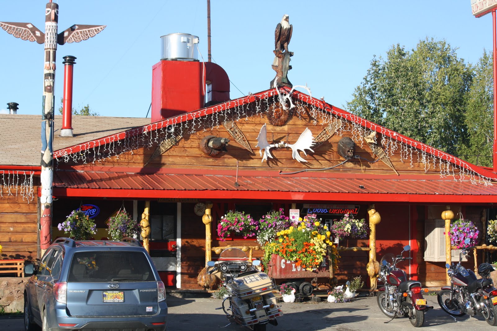
The Chatanika Lodge

From the lodge comes the traditional "Chatanika Days Outhouse Race". Each March five-person teams race a one-mile course, with four pushing and one riding in the specially built "racing outhouses". This is Alaska, folks. It is akin to the bathtub races that take place during Golden Days at Pioneer Park (formerly Alaska Land).


12-mile summit (2,082 ft)

Twelve-mile summit is the divide between the drainages of the Yukon and the Tanana Rivers. The Pinnell Mountain National Recreation Trail begins here.


The views are spectacular -- 360 degrees of White Mountain peaks. We enjoyed a picnic of sandwiches, fruit, red wine and dark chocolate-dipped macaroons at the summit. Nice!


Savannah also had a good time.


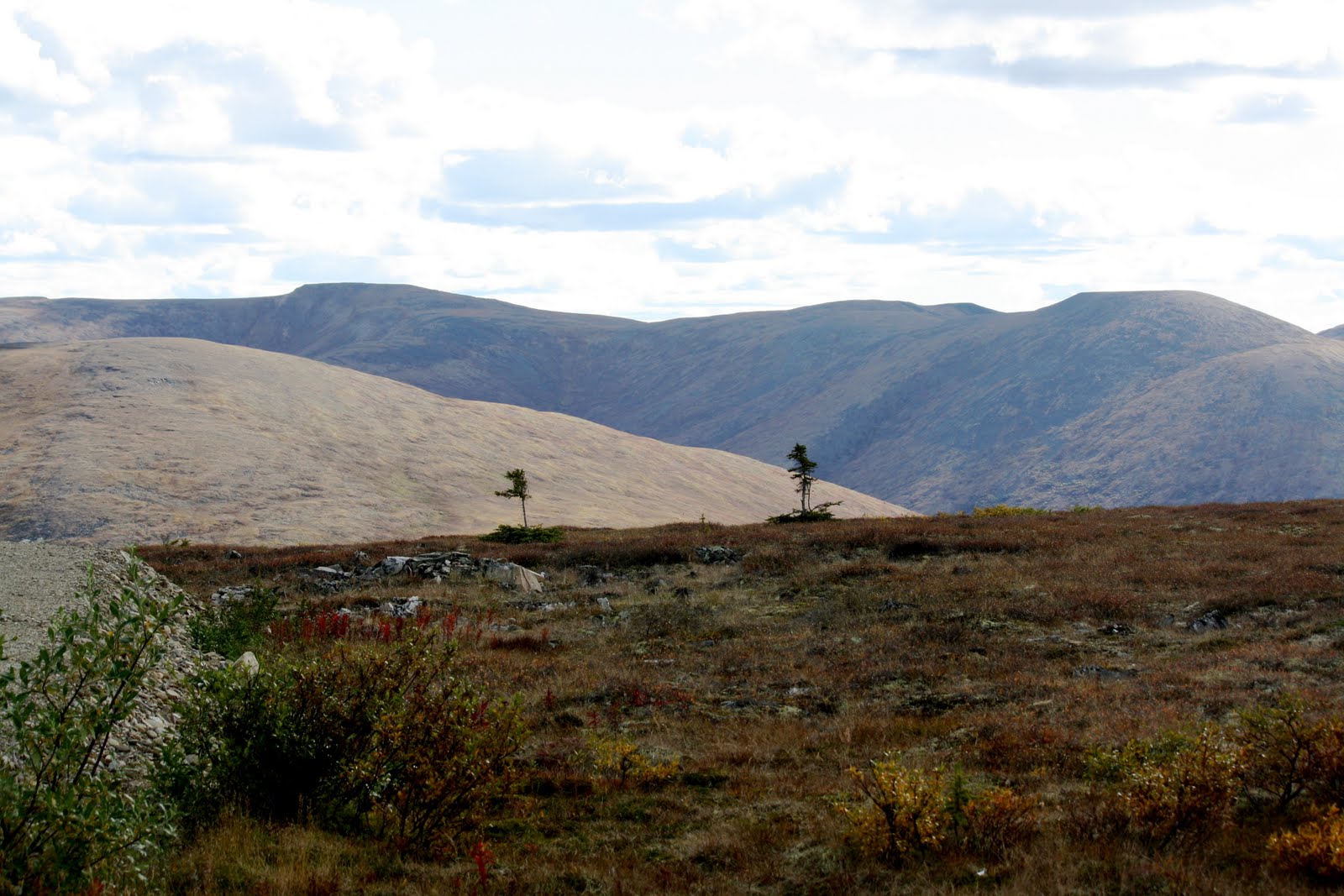
Eagle Summit (3,685 ft.)

Much colder, windier, and stark. Eagle Summit is one of the most difficult points on the Yukon Quest sled dog race. Many teams fail here.


At the summit we are above the tree line, but witness two black spruce stragglers loath to give up!


Savannah went crazy on the tundra.


Central, AK.

One of the checkpoints on the Yukon Quest trail. Not much to do here (not even a good cup of coffee). We settled for diet Cokes.


Finally, fireweed and black spruce under an overcast sky on the way back to Fairbanks.

This was not one of the most dramatic of trips I have taken, but the scenery was awesome. Unfortunately, you would need Jeff Jones' photographic equipment to do it justice. We didn't go all the way to Circle as it would have required another 2-hours drive on what the Lonely Planet characterized as possibly ... Alaska's least scenic stretch of road, ... Plus, we both had seen the Yukon River already.

It was a truly beautiful drive, on a beautiful day, and it would be nice to do it again in different seasons.

BTW, I do intend to write to all of you to whom I owe emails!


Monday, June 27, 2011

The Richardson Hwy to Valdez and the ferry to Cordova

A drive down the Richardson Highway from Fairbanks to Valdez takes you through the Alaska Range, the Chugach Mountains to the southwest, the Wrangells to the southeast, and past a variety of glaciers, lakes and river drainages. It is one of the most scenic routes in Alaska, but it is more often than not covered in clouds and fog, and raining -- which it was on the day we drove down.


The Delta River with the Gulkana Glacier in the background.


The Worthington Glacier.
Just one mile off the road it is the most visited site in the Copper River Basin.


Horsetail Falls is right ON the road.


Savannah in the meltwater pool of the Valdez Glacier just outside the town of Valdez.


The Valdez small boat harbor as seen from the Dock Point Trail on the edge of town.


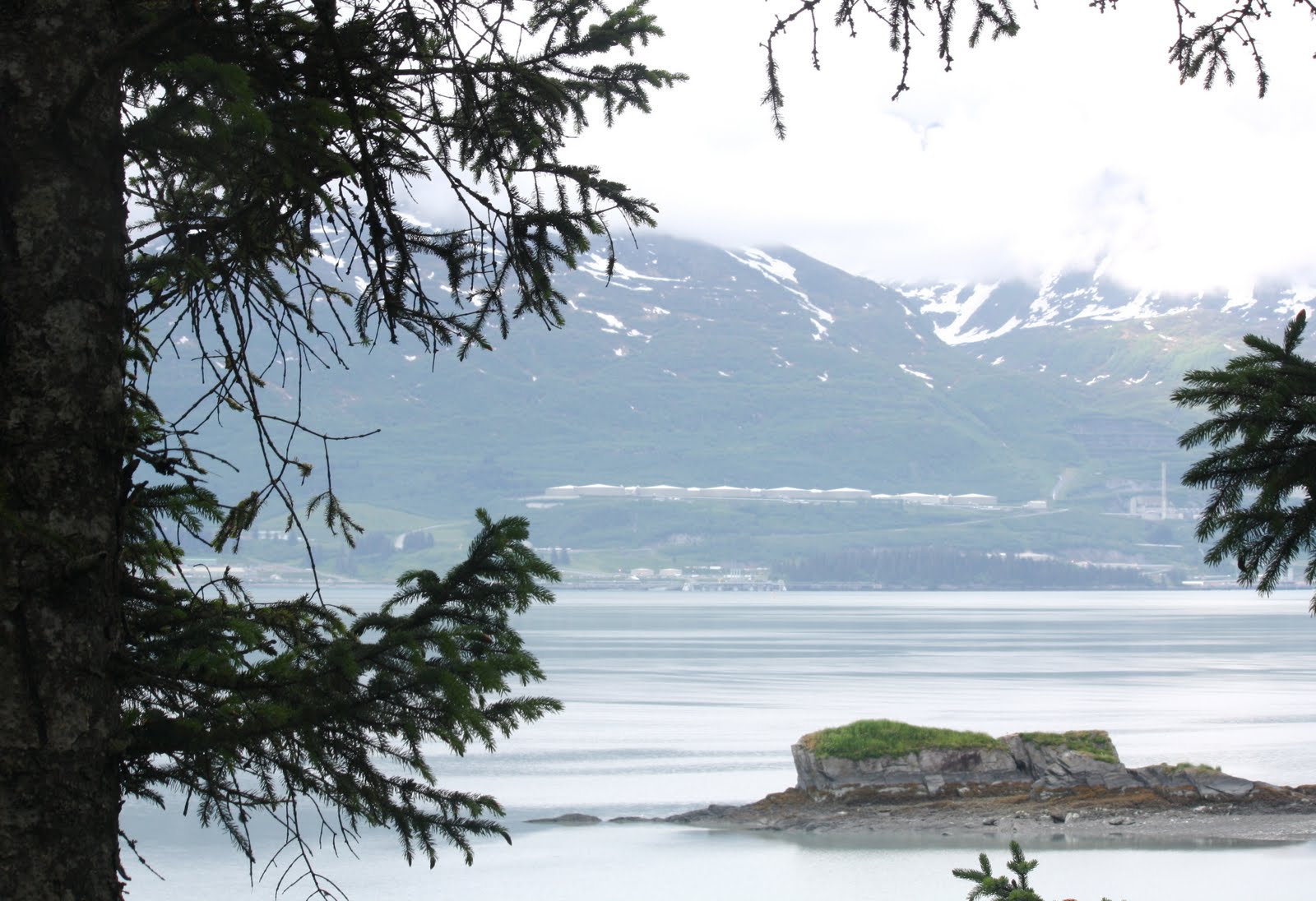
The end of the Trans-Alska Pipline and storage tanks accross the bay from the town. The pipeline runs 800 miles from Prudhoe Bay to Valdez and the town was the site of the disastrous Exon-Valdez oil spill. Another spectacular view from the Dock Point Trail.


A field of wild flowers on the Mineral Creek Trail near Valdez.


The ferry ride from Valdez to Cordova was spectacular even though it was overcast.


Arriving at the port of Cordova.


Gulls at the ferry dock. My only photo of "wildlife" -- not counting Savannah.


The Cordova Rose Lodge B&B

-- which I can highly recommend even though the one-lane drive off the main road I used to refer to as "suicide hill". Mark and Debbie, the managers, were fun, helpful, and incredibly understanding vis a vis the lovely Savannah.


Summer Solstice from my room -- looking across Odiak Slough.


The Child's Glacier as seen from the Million Dollar Bridge -- 50 miles outside of Cordova.


The "Million Dollar Bridge" over the Copper River -- the TRUE bridge to nowhere. The road ends a mile beyond, and there is nothing (not even a maintained trail) to Chitina -- the proposed destination of the road the locals DO NOT want.


Miles Glacier can only be seen from the bridge -- I almost missed it!


Savannah on the Pipeline Lakes Trail on the way back to Cordova from the bridge.


The Cordova small boat harbor. We were very lucky to have sun on the two days we were in town.


The town of Cordova from the small boat harbor.


View from my room the last morning -- just before catching the ferry at 8:30 am.

A trip I would definitely consider repeating!